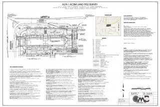
 This is a specialized survey frequently required by lending institutions on large commercial or multi-family residential properties. It adheres to a specific set of requirements jointly established by the American Land Title Association (ALTA) and the American Congress on Surveying and Mapping (ACSM). Generally, in addition to the boundary of the subject property, all of the improvements located on a site will be measured, identified and shown on the survey, together with all applicable easements and setback requirements established by provided documents. If you have any questions Please Contact Us at 303-840-9421
Below are examples of the types of services we provide. Please click on a service to get more details!
This is a specialized survey frequently required by lending institutions on large commercial or multi-family residential properties. It adheres to a specific set of requirements jointly established by the American Land Title Association (ALTA) and the American Congress on Surveying and Mapping (ACSM). Generally, in addition to the boundary of the subject property, all of the improvements located on a site will be measured, identified and shown on the survey, together with all applicable easements and setback requirements established by provided documents.
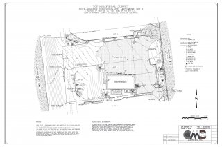
This type of survey is critical to enable the design for adequate drainage of a site either before or after construction is completed. Elevations can be assumed relative to an arbitrary stable point (Bench Mark) or can be based upon a government identified sea level datum. Our topographic surveys establish the change in grade or elevation of land and constructed features such as roadways, drainage channels and structures and are frequently utilized for design purposes. Specific costs relative to the construction of a foundation of a proposed structure or other improvements can be determined more precisely if a topographic survey is completed prior to design.
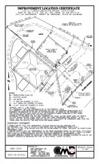
When buying or refinancing a home or commercial property a survey is usually required by your lender. This survey will show the boundary lines of the property and all existing improvements on the property. The survey will also show easements of record plotted on the survey. Utilities servicing the property and fences are some of the other important details that will be shown on the survey.
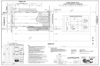
A survey to establish or re-establish the boundaries or limits of a property or easement identified by a deed of record is commonly referred to as a Boundary Survey. This type of survey will not only identify the location of the boundary, but will disclose possession limits and discrepancies that may exist between the record description of the property and that of the adjoining properties. This survey will also show any encroachments on the boundary lines. In addition to the use of modern equipment and computer software, our staff of professional surveyors have a complete understanding of the legal aspects and principles of land surveying, including the history and original distribution of land throughout the area.
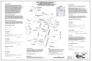
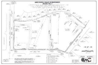
The subdivision platting are the documents that create a subdivision of land for development. The drawings and other aspects of platting will be recorded in the public records for transfer of title for the lots and tracts contained with the subdivision. The legal description for each lot and tract within the subdivision will refer to the plat book and page of the recorded plat instead a metes and bounds description. When subdividing a tract of land into more than two parcels, a subdivision plat is required by state and county laws.
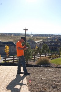
The locations of proposed construction such as utility lines, buildings, parking areas and other improvements are determined on the ground based upon a set of plans generated by an architect, engineer or other person responsible for the design. Generally, horizontal and vertical locations will be determined in the field as per the desired plan and stakes set to mark and identify their locations.

